Planning project · Planning application
Property line change to create 3 buildable lots on 1.36 acres approved
City staff approved a record of survey that adjusts lines among three adjoining parcels to make three buildable lots. The filing says no construction is planned. The decision was made administratively on Dec. 15.
About this application
ROS - pla
Project name on file: 5433 W HILL RD
Timeline
Two days ago
4 documents added
March 7, 2025
Planning Applications: Generate Additional Application
March 7, 2025
Pending Application Submittal: Planning Applications in Review
March 7, 2025
Concept Review Complete: CR Complete - Type 2
See belated CR Messaging
March 7, 2025
Early Assistance Review: Send to Concept Review
March 7, 2025
Application Submittal: Online
March 7, 2025
Application filed
Documents
Plans
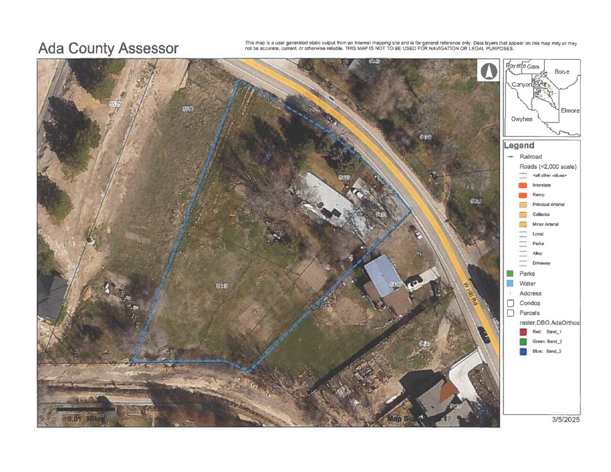
- Download Current site map
A user-generated static map from an online mapping site showing roads, parcels, parks and water layers, with a disclaimer that it is for general reference only.
March 7, 2025 · 1 page · 372 KB · PDS-Maps and Drawings
Project narrative
- Download Concept review summary report
Advisory concept review summary for a property line adjustment to create three buildable lots, with planner notes on applicable development code standards.
March 7, 2025 · 2 pages · 449 KB · PDS-Concept Review Summary Report
Application
- Download Planning project application form
Application for a record of survey covering a parcel line adjustment in an R-1C zone, filed by a land surveying company for the property owner.
March 7, 2025 · 2 pages · 154 KB · PDS-Application
Other documents
- Download Record of survey for property line adjustment
Survey plat establishing revised parcel lines for Lots 10 and 11 of Seaman Subdivision, with notes, owner consent, notary block, and surveyor's certificate.
March 7, 2025 · 1 page · 48 KB · PDS-Record of Survey