Subdivision · Planning application
76-lot residential subdivision final plat approved by Meridian City Council
The council approved the final plat for 76 buildable lots and 7 common lots on about 10.5 acres. Plans call for single-family detached homes and townhouses. The decision was made July 7.
From the filing
The application's description as it appears in City of Meridian's record. See the official record
Council date: 06/16/2026 Request: Final plat consisting of 76 buildable lots and 7 common lots on 10.65 acres in the R-8 and R-15 zoning districts, by Engineering Solutions. Location: Generally located on the north side of I-84, 1/4 mile west of S. Meridian Rd., in the NE 1/4 of Section 13, T.3N., R.1W.
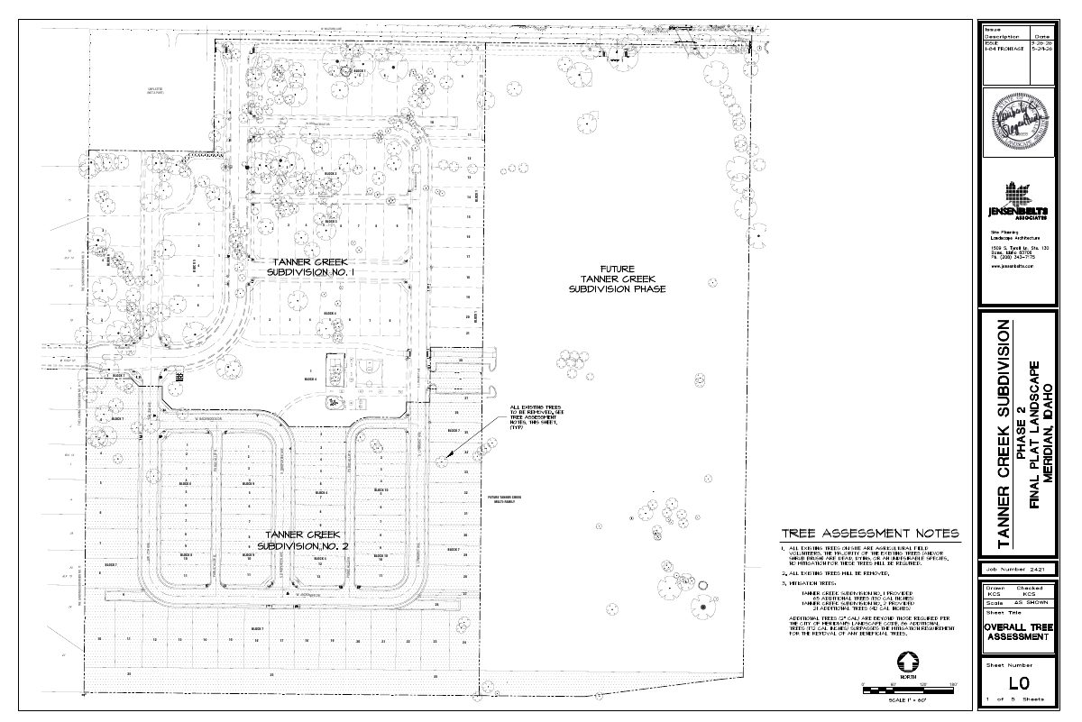
Project name on file: Tanner Creek Subdivision No. 2
Timeline
Two days ago
Status changed from “Finaled” to “Approved”
Aug. 25, 2026
Final Action: Application Complete
July 7, 2026
Public hearing: Meridian City Council
Outcome: Approved.
July 7, 2026
Decision: Approved
Meridian City Council: Approved.
June 30, 2026
City Council Hearing: Approved
June 16, 2026
Public hearing: Meridian City Council
June 8, 2026
4 documents added
May 15, 2026
Planning Review: Approved
April 27, 2026
Parks Review: Approved
April 27, 2026
MFD Plan Review: Approved
April 15, 2026
Land Development Review: Approved
April 13, 2026
Wastewater Modeling Review: Approved
April 10, 2026
MPD Review: Approved
April 7, 2026
Transportation Plan Review: No Comment
April 3, 2026
Water Modeling Review: Approved
April 3, 2026
Planning Review: More Information Required
April 3, 2026
GIS Review: Approved
April 3, 2026
City Clerk Review: Approved
April 1, 2026
Application Submittal: Accepted
April 1, 2026
Application filed
March 31, 2026
Application Submittal: More Information Required
*Private Street Cross SectionEmergency Access ExhibitVicinity map needs to be in landscape.
Documents
Plans
- Download Final plat
Final plat sheet for Tanner Creek Subdivision No. 2, showing the scale bar and surveyor and engineering seals; the text layer is mostly garbled.
June 8, 2026 · 1 page · 1.1 MB · Viewable by All
- Download Landscape plan for The Landing Subdivision No. 9 final plat
Sheets show lot and block layout with utility lines (water, sewer, storm drain, and PIR lines) and a key map for the final plat.
June 8, 2026 · 5 pages · 2.9 MB · Viewable by All
- Download Signature sheets for Tanner Creek Subdivision No. 2 final plat
Surveyor signature and certification sheets for the final plat of Tanner Creek Subdivision No. 2, with blank book and page fields and a licensed land surveyor's stamp.
June 8, 2026 · 2 pages · 940 KB · Viewable by All
- Download Landscape plan for The Landing Subdivision No. 9 final plat
Sheets show lot and block layout with utility lines (water, sewer, storm drain, and PIR lines) and a key map for the final plat.
May 29, 2026 · 5 pages · 2.9 MB · Viewable by All

